October 4 to 6, 2013
Whipsaw in the snow
By Dangil
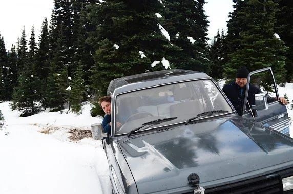
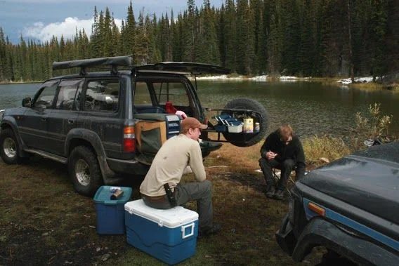
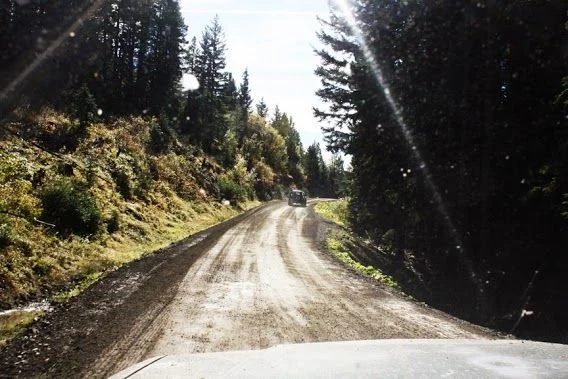
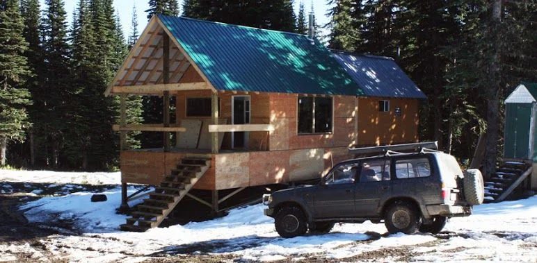
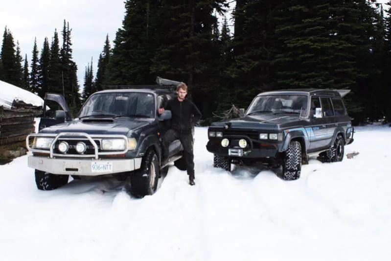
A few of us decided we wanted to squeeze a quick trip up whipsaw before snow locked us out til next summer. Nathan (natecher) volunteered his '89 HJ61 on 33" ATs to haul me, him and his dad up to the trail head where we camped Friday night. Buy the time we arrived at the Corral Creek Cabin site it was just about pitch black. We rushed to get a good fire going with wood gathered from back on the main logging road. There was about 3" of crunchy snow so we weren't too sure how much of the trail we'd be able to responsibly attempt but we decided to leave til the morning to decide. We had prearranged to each cook a meal for the group. Nathan's dad, Cary, was first up. But with limited light, energy and cooking equipment, we simplified the meal plan a bit and feasted on bagged salad and some fantastic steak kabobs.
Early the next morning, our other truck and driver arrived as Nathan started to prepare breakfast. Michael (mpreston73) was up at 4:30am to leave Langley and meat us at the trail head by 8:30 in his Locked '91 HDJ81 on 33" MTs. Breakfast consisted of "messy breakfast sandwiches": Bacon, eggs, avocado, onion, tomato and spicy mayo between to pieces of cheese biscuit were indeed messy, but even more delicious.
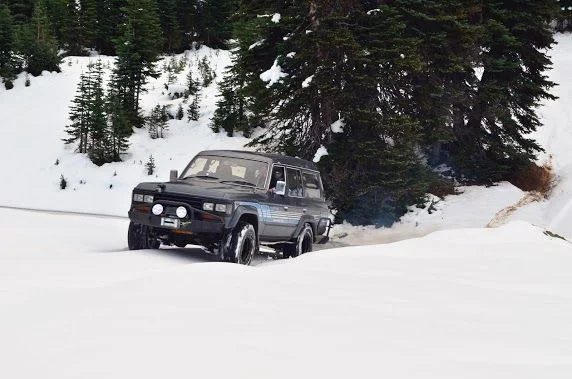
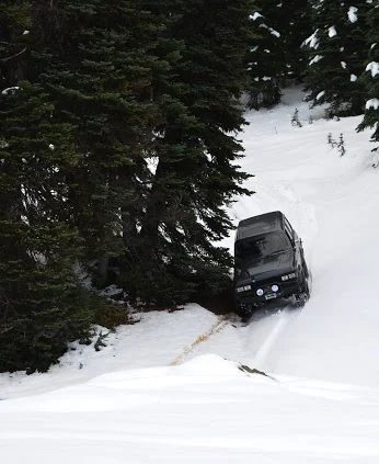
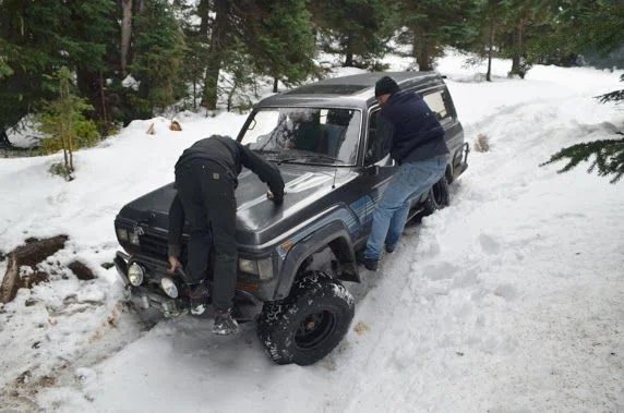
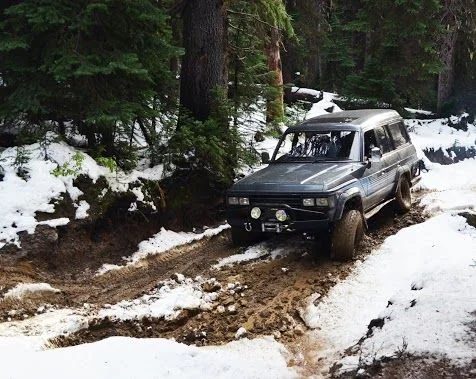
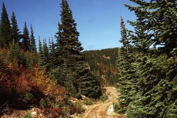
As a group, we decided that we'd push forward but be prepared to turn around if the snow made things too hairy. There were a set of truck tires heading up the trail which added to our confidence. We took the tamest route at every opportunity. We only had 1 winch between the 2 trucks and didn't want to push our luck. By the time we arrived at the trappers cabin/grave site we were still following tracks, but now there was about 10" of snow. At this point the tracks appeared to end and head back down the trail. Feeling good that most of the climbing was out of the way, we pushed forward, plowing new tracks on the trail. For the most part it was fairly easy to stay on the trail because we could see long grass poking up in the meadows, and the dirt trail didn't have any vegetation poking through. A few times we had to get out of the trucks to carefully pick a line through the snow over an obstacle. We had one minor recovery when the HDJ81 went a little too far down a wrong road and need a tug from the 61 to back up on level ground. We had to stack a few rocks in a hole at one point to get over a steep rocky ledge, in the excitement of getting the trucks through, we forgot to un-modify the trail, so sorry about that. Should be an easy fix for whoever goes through early next year.
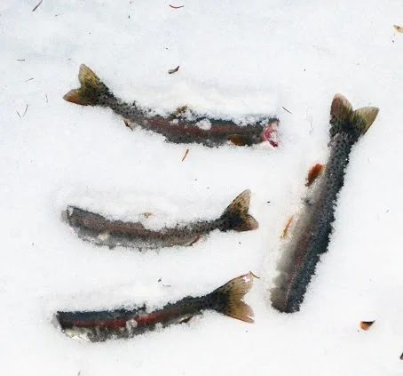
We got to Wells Lake at around 2:00 for lunch. We took turns with Mike's fly rod and pulled in a few appy sized fish for later that evening. There was very little snow at Wells, so we were optimistic that Falcon Hill wouldn't be too hard based on the lack of precipitation and the thick coverage provided by trees on the next part of the trail. There were some hunters on quads at Wells Lake but that was it for people on the trail for the rest of the trip (they had come in from the Coalmont side).
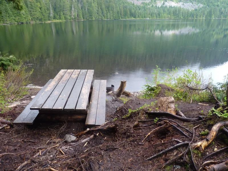
We made our way to Lodestone Lake with an hour of daylight to spare. The main picnic area was quite wet and muddy so we elected to camp on the back side in about 6" of snow. We got a fire roaring and enjoyed steak, trout, potatoes, asparagus, and mushrooms that Cary had picked along the trail.
The next morning, Mike fixed us a fantastic breakfast omelet containing bacon, onions and perogies. As we were leaving, Mike noticed his rear tire was very deflated. It must have happened at the end of the previous day because the tires looked good when we had parked the truck for the night. We re-inflated it and headed up Lodestone FSR towards the coal mine. 10 minutes up the FSR, we checked the tire and it had gone from 25 to 20 PSI. We put on the spare tire and aired everything up to 30 PSI.
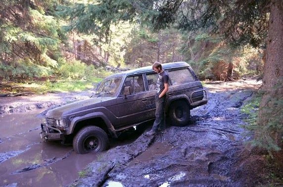
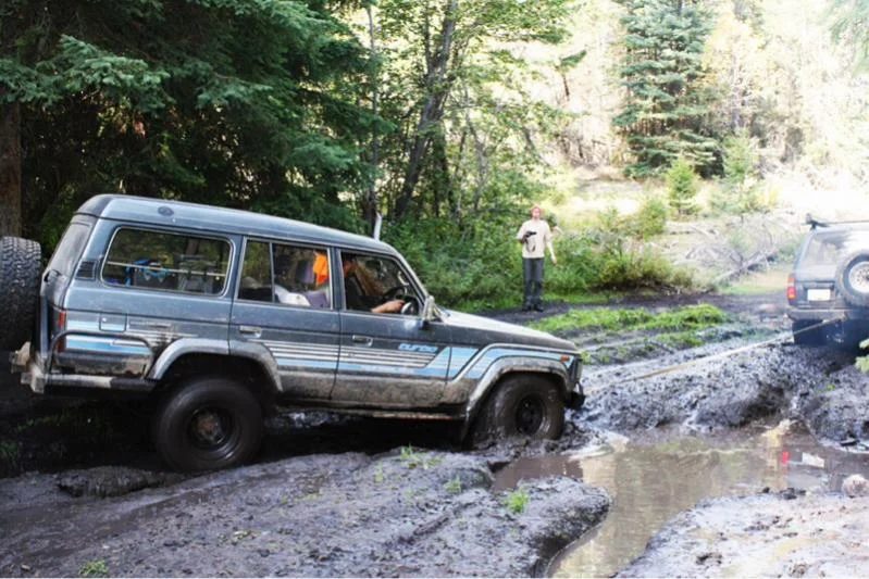
Once we were on Blakeburn FSR, we started looking for an alternate route directly to Tulameen. The BC Backroads map showed a few options but I think things have changed since the coal mine went in and we couldn't find a few of the roads that were on the map book. at the 5k mark down Blakeburn, we took a right but without any GPS and limited time, we popped back out on Blakeburn at the 1.5k mark and headed down through Coalmont to Tulameen. This little detour did require another minor recovery... Nathan's 61 got stuck with 2 wheels spinning in a tricky mud pit. And tug from the 81 and all was good.
After a quick lunch in Tulameen, we headed up Lawless FSR. We ended up taking a few "shortcuts" through some snowmobile routes around Mt. Henning and popped out near the Coquihalla Summit.
The trip was a success. I suspect in a week or two the trail will be more or less impassable by "stockish" trucks.The food was fantastic, the damage minimal (one tire punctured by a screw, a loosened mudflap). Cary had such a good time that now he wants a Cruiser.
The thread on IH8MUD
June 8 to 9, 2013
Camping at The Falls up Sylvester
By Jeff (Enigma)
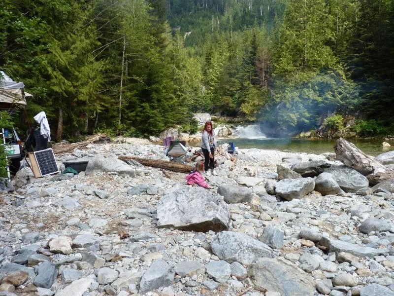
Well we wanted to go camping this weekend, so under some gloomy skys, but with a positive weather forecast, we loaded up the battle wagon and headed east.
As we left the house, it was asked if we forgot anything. My witty remark was "yes, the kitchen sink". (it actually was packed, a foldable one inside the action packer) One night of camping and we were packed to the rafters......
Becky had never been to The Falls up Sylvester, I've taken the kids there numerous times, and it was a shorter drive than the typical stomping grounds up west Harrison, so that was our destination for the evening.
I haven't actually been up that far for two years now, and turned left instead of right after Little Iraq, and ended up in some new logging operations at a dead end road by Twin Lakes. There appeared to be a stag party there, as one car (with dual exhaust stacks coming up through the roof.....) had an inflatable doll tied to it. I sure hope it was a stag anyways.
We got out of there, found the right road, and upward to The Falls.
Much to my chagrin, there was a group of people there already! One lifted newer model Grand Cherokee and bone stock Jimmy/Blazer. I was quite surprised it had made it that far, but was informed the Jeep had to tow it up the last part after it's electronics took a dunking and the 4wd stopped working.
Anyways, they were quite nice people. I'm horrible with names and forget them as soon as I'm introduced, but we chatted for awhile, shared the fire, and watched the RC crawler action they had brought up.
Another couple showed up in a nicely built TJ just as we were finishing cleaning up the garbage from up where the old shelter used to be (the Grand owner was nice enough to toss the two bags up on his roof rack and take it home).
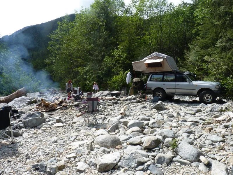
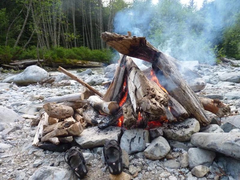
Soon though everyone left and we had the place to ourselves for the rest of the weekend. It was a tad chilly, so I built a just ever so slightly illegal size bonfire.
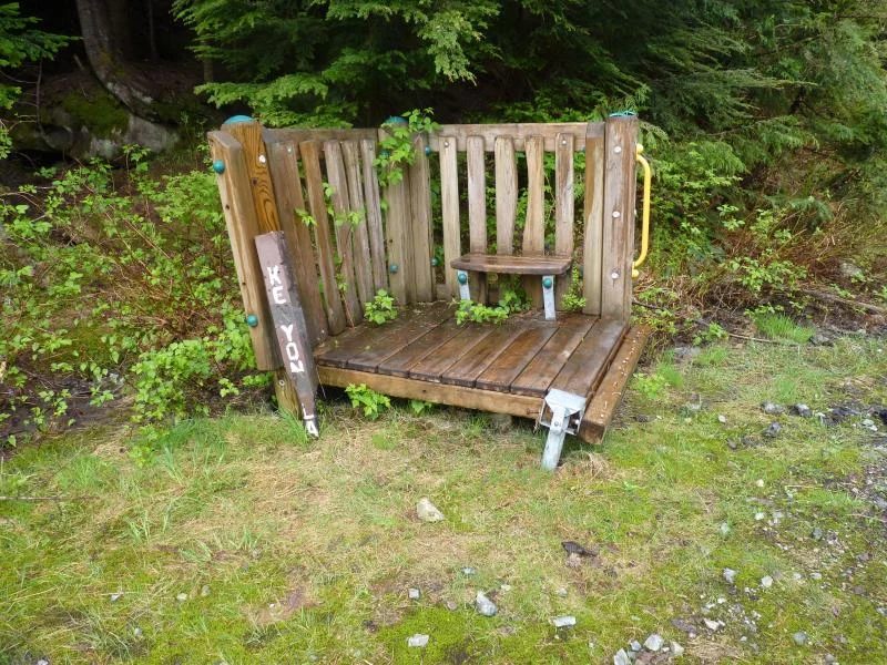
After packing up on Sunday, I wanted to check Kenyon out and see the state of affairs. Aside from someone using the signpost as fire wood, it was in immaculate shape. There was some weird structure brought up though, looked to be part of a balcony from a kids playhouse. There were still a few patches of snow in the trees.
It's too bad Kenyon is such a boggy mosquito mess, it was quite peaceful standing there staring out over the lake, complete silence, except for the sound of a Loon off in the distance. Gawd I love that sound, so serene.
On our way back out, the RCMP were doing rounds with their quads, and they had am inspection roadblock set up back at the pavement. A brief panic as I couldn't find my wallet, but we were soon on our way back home.
Great, albeit short, excursion out.
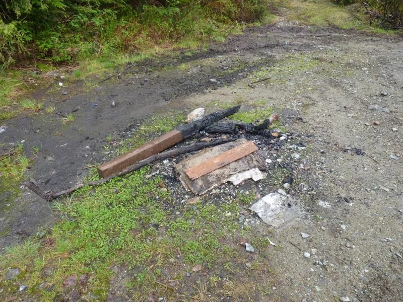
And the usual clear cuts are already full of empty shell casings and targets, withe remains of a camper smoldering in the staging area we use for our cleanups.
The thread on IH8MUD
Spring 2013
Dirty Devil River, Hotel Rock and the Needles
By Glenn (Glenn-BJ74)
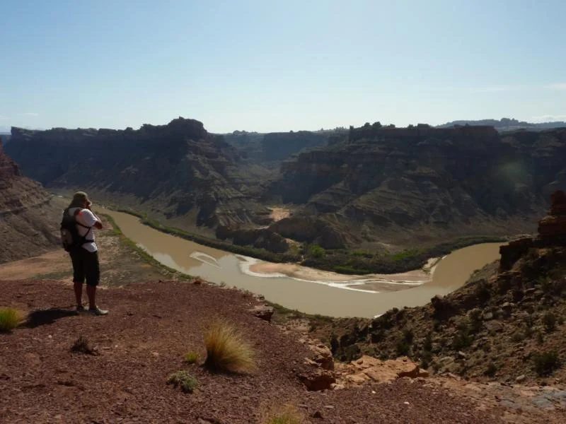
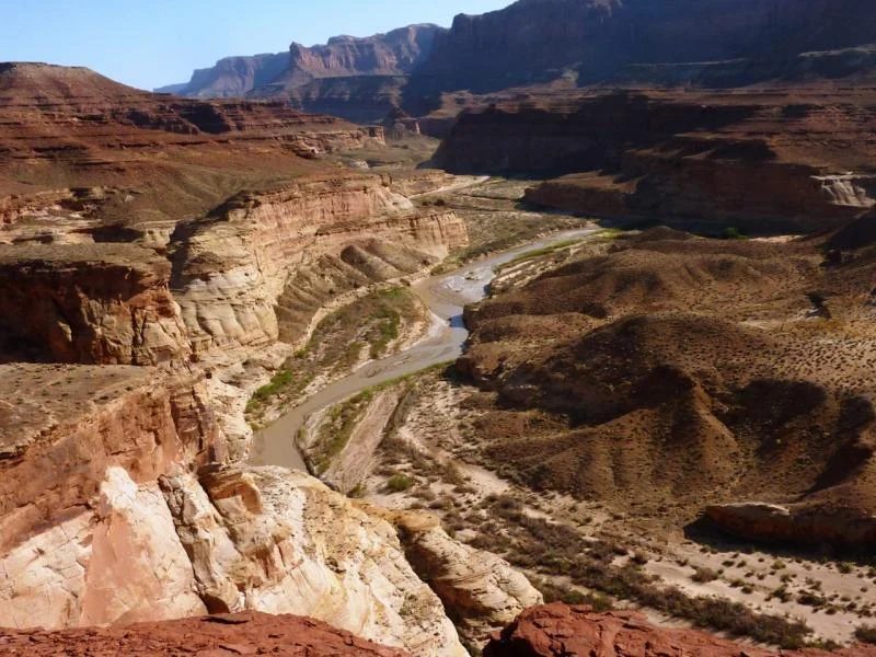
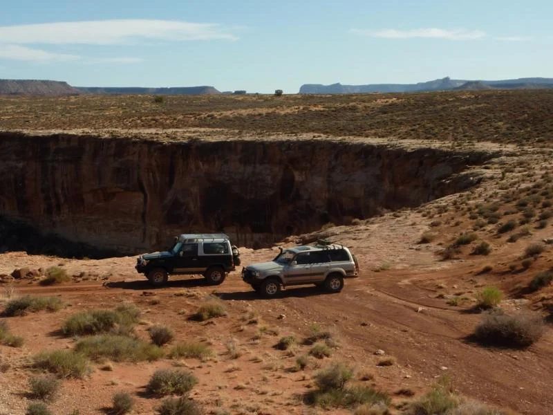
Our last official campsite in the Park was Sunset Pass. We got there about 3:00 PM and found an unremarkable site so decided to keep going and look for the Dirty Devil River. After traversing some weird looking terrain we eventually reached the Dirty Devil River.
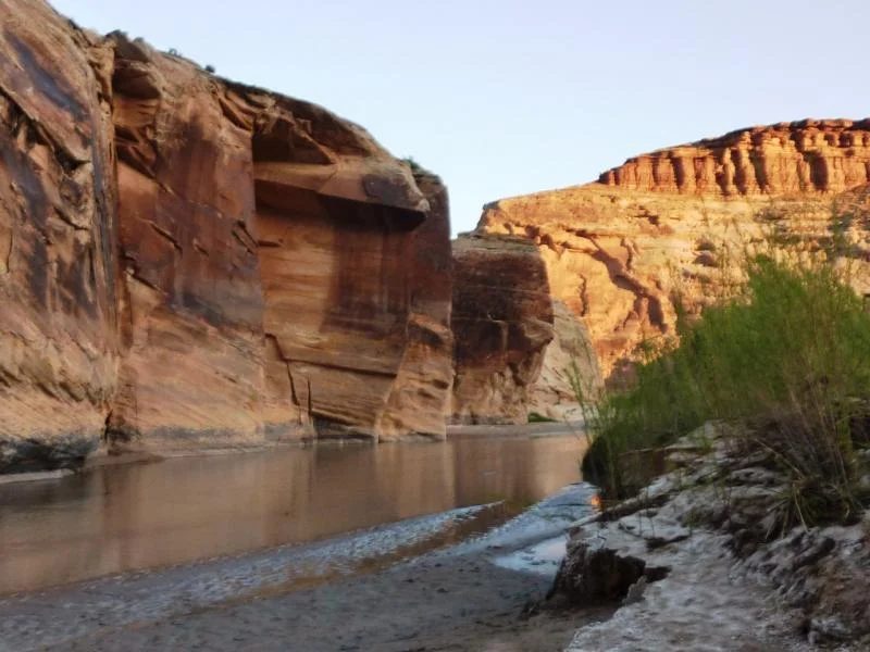
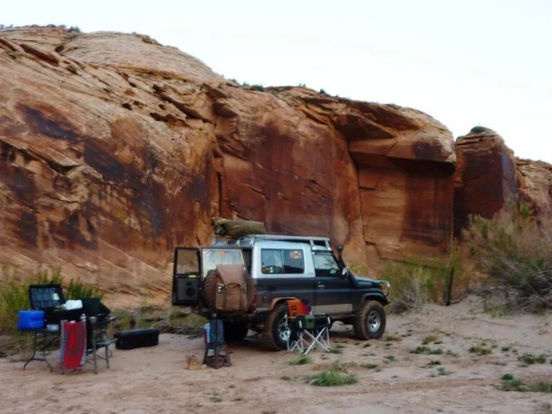
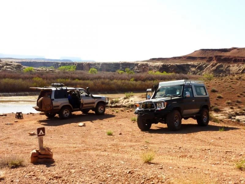
There we found a sandy riverbank to camp beside. Quickly parking the trucks we both jumped into the silty brown water to wash off the week's accumulated dust off our sun-baked faces. Eric headed off in his rig to take picture during 'magic time' when the desert light is offering its best reddish hues.
The next day was Saturday. After pack up we continued out Poison Spring Canyon to reach paved Hwy 95. Along the way we saw one or two slot canyons north of the road, worthy of a hike next time we are there. Once reaching Hwy 95, we aired up and cleaned our air cleaners. I accompanied Eric to Hanksville where we said our goodbyes...
Eric headed home, but along the way stopped by Cruiser Outfitters to see Kurt for a new set of springs to replace the ones he bagged out on the trip. I headed south to the Four Corners Inn in Blanding for a hot shower and to meet the Copper State Cruisers for dinner and another week of wheeling, including getting to Day 1 of Cruise Moab on that Wednesday in Moab.
So ends Week 1.
Week 2
After leaving Eric on Saturday I headed to Blanding to meet the Copper State Cruiser gang --they are based in Phoenix. We met at the Four Corners Inn, as we have in the past.
I got there about 2:00 PM and hit the ACE hardware store to buy an outageously priced soldering iron to fix my busted CB. I borrowed a 100’ extension cord from the motel staff and draped it out my second story hotel room and finally got enough heat to solder the dam thing - good enough for field reparir - but the antannae needs to be completly replaced. Stuff like this always works fine at home, but on a trip - a definite maybe!!
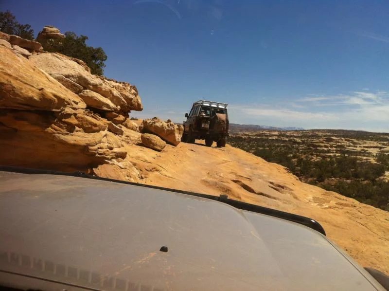
The next day it was Hotel Rock – rock crawling obstacles abound. We headed west on Hwy 95, which I had come from the day previous and we turned north onto the Comb Wash road which leads eventuall to Hotel Rock.
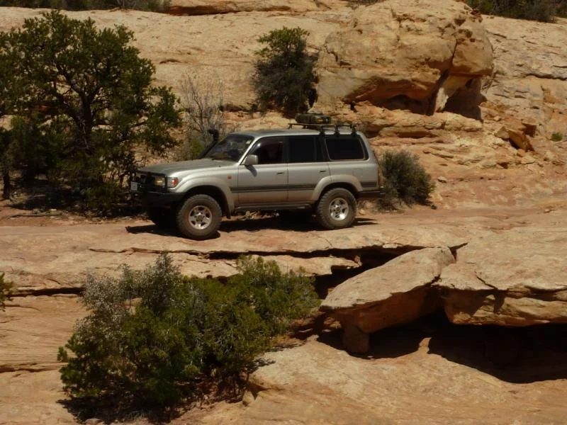
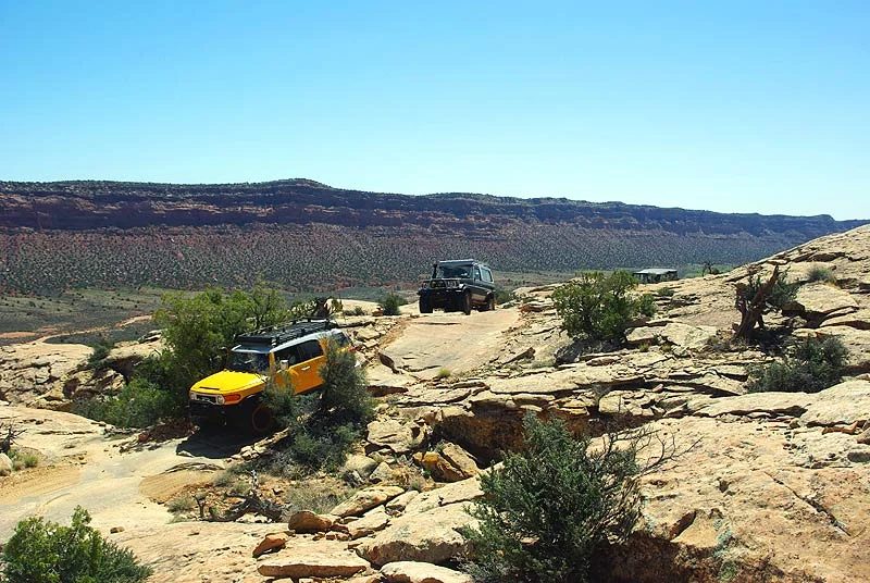
There is an easier way to Hotel Rock but we never do that. Here I am following Jim and Lorna.
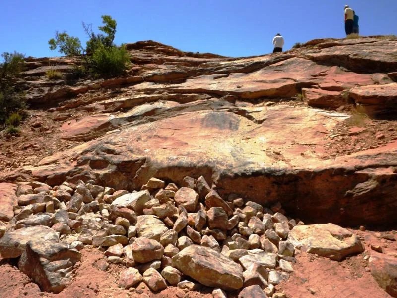
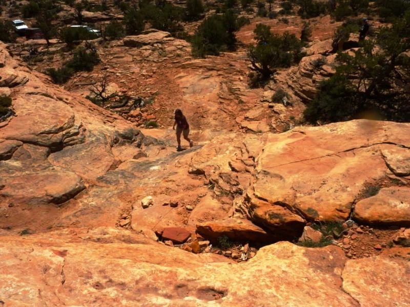
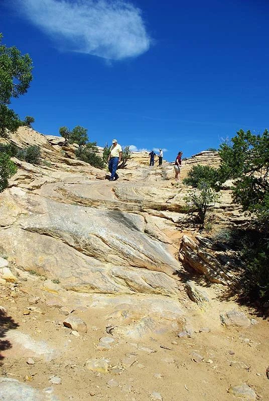
Some of the up and down obstacles - to get there.
PS. Some of the following pictures are from the CSC site.
A few shots of the steep obstacles on the way to Hotel Rock ...
Hotel rock for lunch.
The third picture is a look back at Comb Ridge, the bottom of which we turned off to get where we are now.
Comb Ridge is a very prominant north south ridge about 80 miles long you see in the distance. The area from where this picture was taken is south of Canyonlands in the Manti-La Sal National Forest. The Manti-La Sals were visible looking east from the Maze.
Toward the end of the day we stopped by Natural Bridges National Monument, east of Blanding off Hwy 95. There we looked around and took pictures and yakked a bit.
The second picture is Jim and Kevin - two stalwart members of the Copper State Cruisers.
The third picture are of some of the Columbians that flew up for the week. The fellow in the blue was wheeling his brand new rental FJ from Phoenix !!
Picture of the Cooper 37's that work extremely well on the FZJ80. We headed back to Blanding, but detoured south to Bluff, UT for dinner at the Twin Rocks Dinner.
Needles - -Backdoor
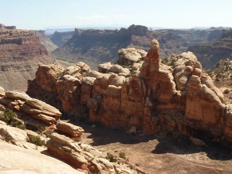
The Needles District is the southern of the three regions of Canyonlands -- the other two are Islands in the Sky and the Maze.
From Blanding we came in from the south through the Manti-La Sal forest, north through Beef Basin and out Elepahant Hill to the paved Hwy 211, coming out past the NPS gate.
The Needles are part of the same formation that is in the southern Maze -- simliar to the Dollhouse formations.
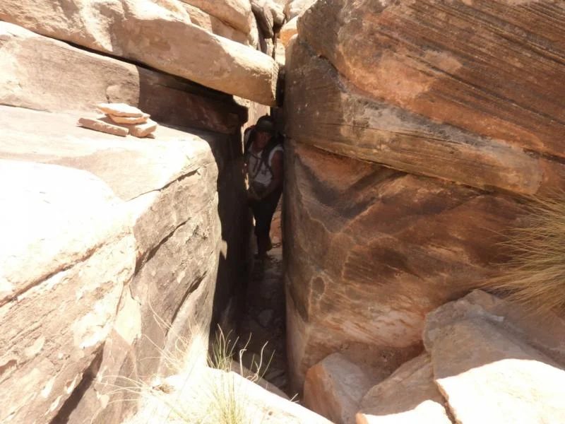
On the way is SOB hill. It is a rough climb, which is really no problem but at the top you have to make a tight right turn, where there are lots of 2' rocks and then through the SOB squeeze. Jim is in the blue shirt is the gatekeeper.
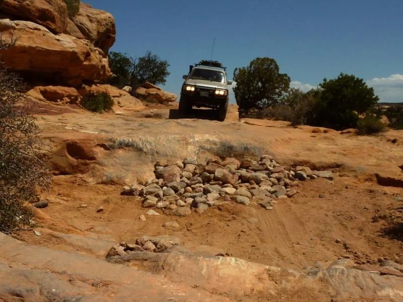
The entertainment was getting the FJ rental through without damage - last picture..
We got it through - lots of stacked rocks - and then out through the squeeze ...
and finally out through Elephant Hill to pavement and off to dinner.
The thread on IH8MUD
Spring 2013
The Maze, Canyonlands
By Glenn (Glenn-BJ74)
We started with 3 cruisers - Greg, Eric and I (two 80 series and my 70 series), but lost Greg in Salt Lake City. That Saturday we left Greg (as there was nothing further we could do) we drove to Green River and stayed at the Robbers Roost motel - $35 with tax. After checking in we went for a burger at the noisey local cowboy bar and took in the dusty western ambience. Sunday morning - in blazing sunshine we filled our NATO fuel cans stapped them down for the rough trail ahead. We headed to Airport Road to connect to the long trail south to the Hans Flats Ranger Station to pick-up our prearranged permit.
About 2 minutes into the trail my CB wire broke off!!! Given that communications is important, I tried to solder it with my cooking stove and a screwdriver tip --which proved unsuccessful and wasted a precious hour of daylight --- never did get it fixed untill a week later in Blanding.
In any event we headed down the dusty bumpy trail to Hans Flats and then down the Flint Trail switchbacks to our first camp at Mallard Canyon.
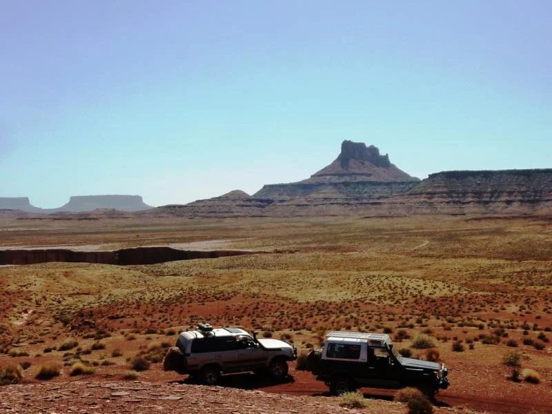
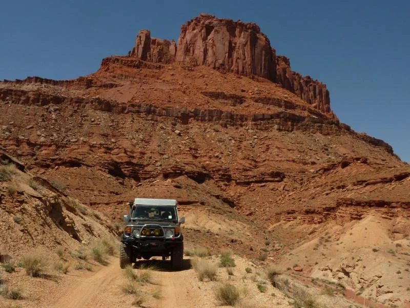
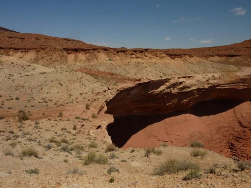
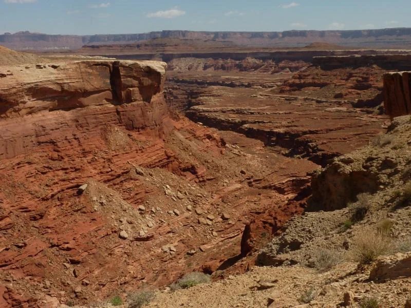
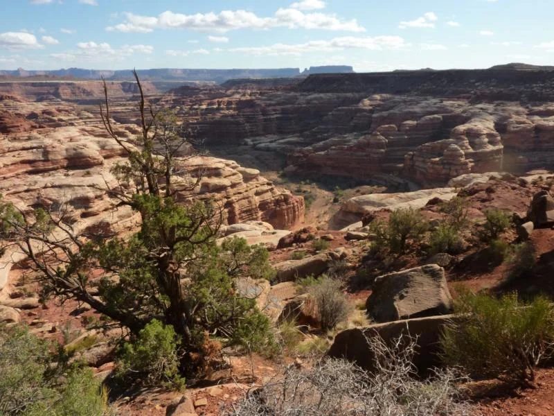
The pictures are of us in Canyonlands on our way.
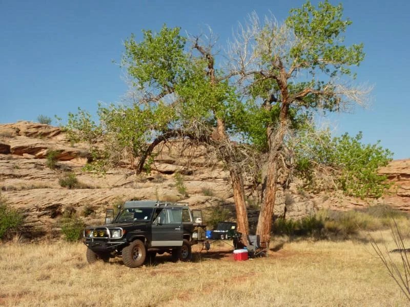
One we arrived at Millard I set up camp under the old Cottowood, Eric chose the official camp site with the commanding view of the Green River.
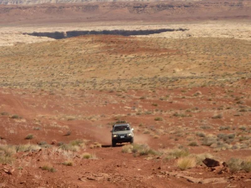
This is the most remote site in the Maze and takes 6 hours from the Hans Flats Ranger Station. The vastness of the area is incredible.
Next morning our destination was the Maze Overlook for two nights. Here is a picture of Elaterite Butte which is a prominent landmark visible from most locations in the Maze.
On our way to the Maze Overlook campsite from Millard camp
We spent two nights at the Maze Overlook campsite.
The first morning we readied our packs and camelbacks for the scramble down into the canyon.
A prominant feature are the 'Nuts and Bolts', which we had to climb around to get to the trail into the canyon.
The last several hundred feet down to the canyon floor was a scary -- as we had to use toeholds cut into the rock to get down down the cliff faces, which when desending you can't see - only feel with the toe of your boot.
The last picture is looking back at where we had come on our way to the Harvest Scene.
Here we are hiking along the Canyon floor along Pictograph Fork to the Harvest Scene.
Harvest Scene
Here are some pictures of the Harvest Scene. Because we got there mid-day the pictures have flat contrast due to the bright light. These pictographs are between 2,000 and 8,000 years old.
I wonder what kind of pigments the artists used back then, because I can barely get paint to last 2-years on my house !
Here we are coming out of the Canyon. Because we could see the toeholds climbing out it was easier that going down. Some tight spots to squeeze through.
The second picture are the Chocolate Drops. The Harvest Scene, which was our hiking destination is in the Canyon behind them.
The Nuts and Bolts from the trail below -- just them coming up to our final bench.
After two nights at our glorious campsite at Maze Overlook, (top picture) we headed to our Chimney Rock campsite, which is in the Land of the Standing Rocks. To get there involved a 6-hour drive and 2 hours of rock crawling from Teapot to the Wall, which gave Eric an introduction to the term ...
Utah Rocks !
Yeah man - I made it!
On our way past the 'Mother and Child" to the Land of the Standing Rocks.
The western part of the Maze is in the Glen Canyon Recreational Area, so to get to the Land of the Standing Rocks we entered Canyonlands National Park. The whole area is administered as one.
We spent two nights at Chimney Rock (last pic).
Hidden beauty.
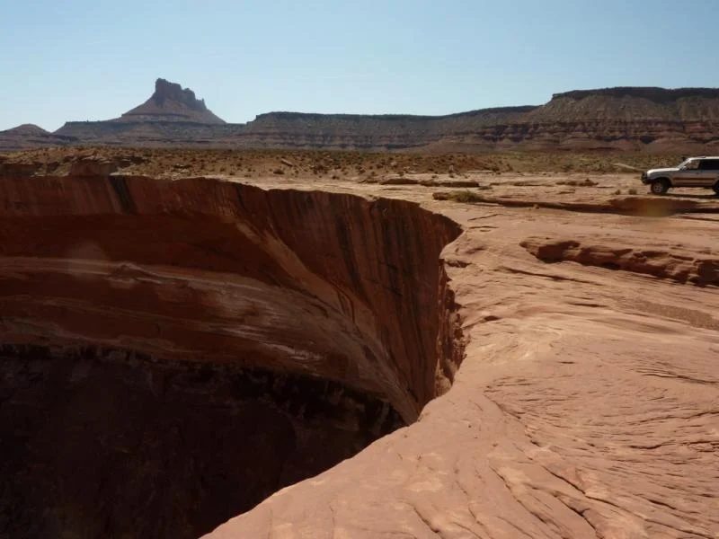
In the second picture, you see the Chocolate Drops in the distance and behind that was our previous Maze Overlook Campsite.
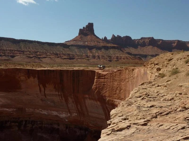
Another angle of Chimney Rock.
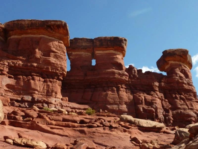
Chimney Rock
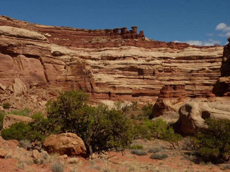
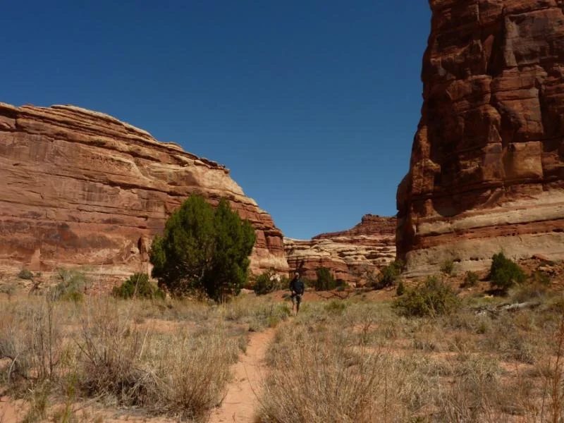
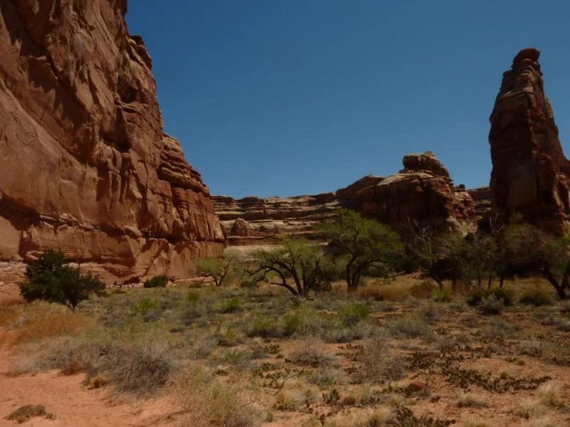
We spent two nights at Chiminey Rock, which gave us a full day for hiking and exploring. In the morning we got the packs readied for the hike down into Shot Canyon to the east. This hike features a 'stairway of rocks' as well as a various selection of other obstacles. Down down down we go .....
Shot Canyon
cool place - very remote - very quiet
The thread on IH8MUD