November 2012
Finding the Elaho Giant
By Antarctican
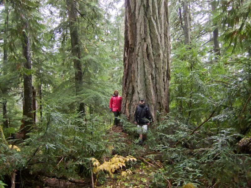
Been trying to get to this tree for 2 years now and each summer I've gotten stopped by snow. Finally made it this November. It's really a simple FSR drive, and the tree is large but not as huge as I expected. Still, it is cool to touch something that has been alive for over a thousand years. I completely forgot to take GPS coords, but if you have the Backroad Mapbook it is on page 34, section C7.
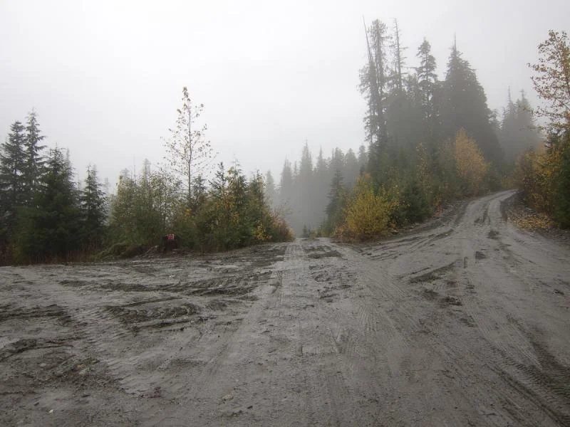
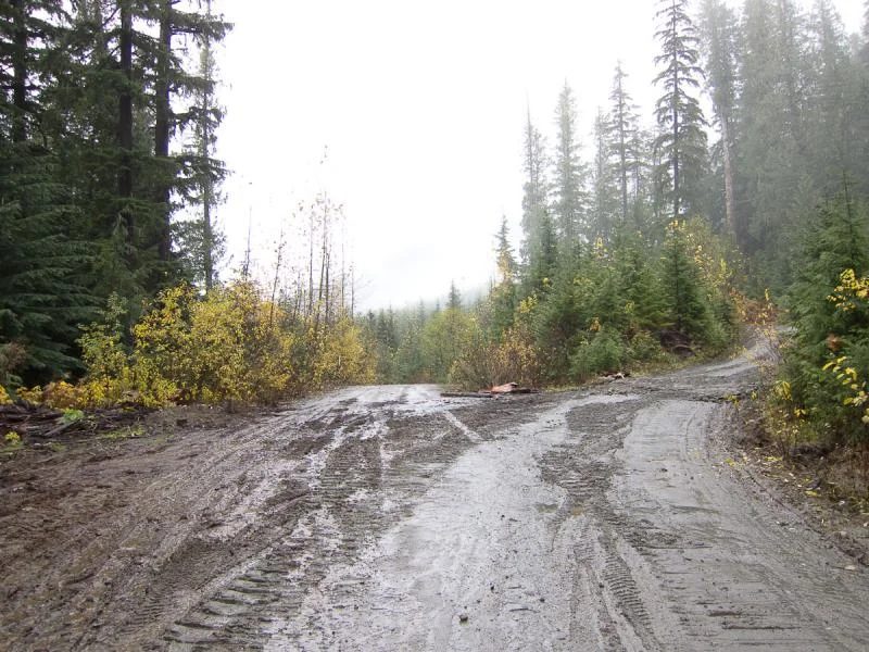
If you are interested in going, this is a little bit of a guide to get you the last few kms up to the tree. There were a few places where the road split off and it wasn't clear which route to take but I guessed correctly.
There is discussion for the stand of trees to become an interpretive forest site. There was noted in the article that the reason the tree wasn't marked nor lead to by a path was that there was concern that foot traffic would impact the forest floor. We spent nearly a quarter of an hour stamping about looking for the tree, if I'd known exactly where it was I could have made it in 5 minutes.
There are directions I found (which I'd forgotten to bring) that state "... until ya get to the 39 mile bridge over the Elaho river go straight ahead and keep going." The bridge you cross will have a large sign that says "Elaho Valley".
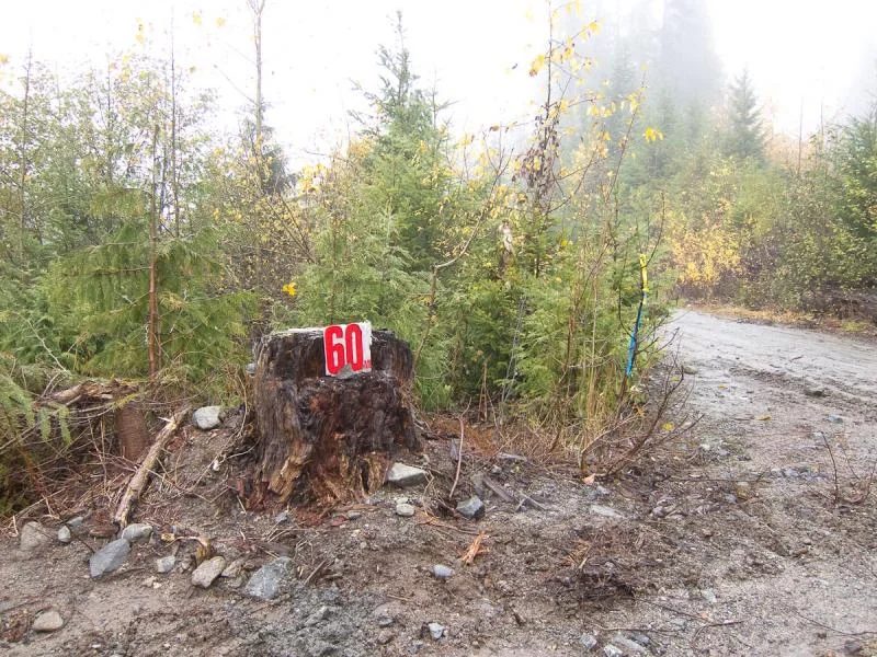
When you are within a few kms from the tree and you see the road split into 3 and a 60mi marker on a stump, take the middle road.
A few minutes further on, the road splits into two. Take the left fork.
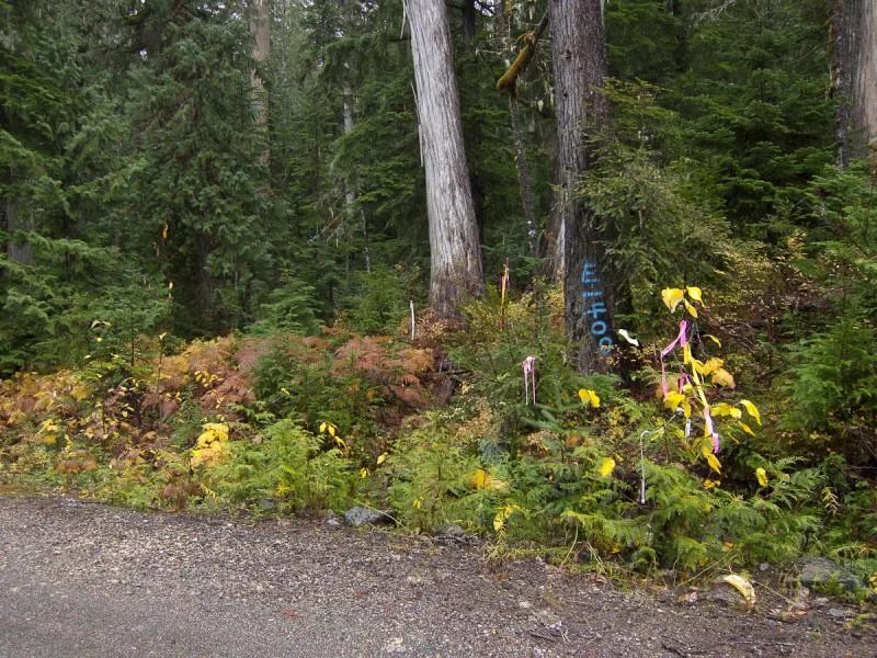
When you are at the area where the tree is, you will notice large trees on the left side of the road and most of them on the right side. There is a small bridge over a creek ahead, don't pass that or you've gone too far. Park. There is a tree on the right side of the road marked E|FOO (the F is backwards, dunno what that means) and a whole bunch of pink and yellow ribbons leading into the bush. This is not the route, but it is close. There is what appears to be an old skidder trail further back, that isn't the route either.
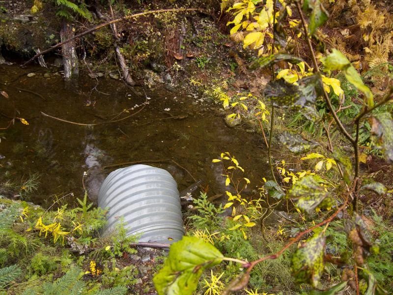
Look for a metal culvert in the ditch to the left of the E|FOO tree, this is your starting point. It is roughly 100 yards back from the bridge.
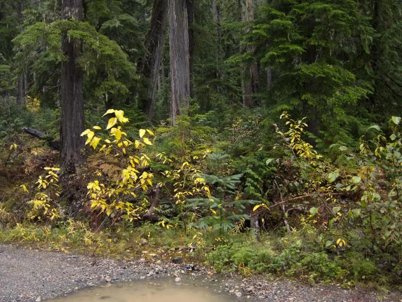
With the road at your back, and the culvert straight ahead at 12 o'clock, look toward 11 o'clock and you will see a leaning tree in the photo. Start walking towards that, and continue past.
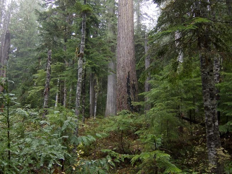
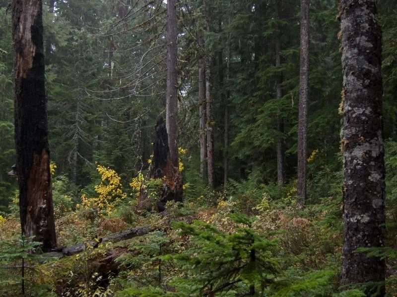
Continue on a few dozen steps until you see this tree with the scorch marks. Continue past it.
You will head towards this burnt pointed stump, continue on past it.
Just a short distance beyond the pointed stump you should find the Elaho Giant. This pic is from a different angle though. When you approach the tree, you will be coming in from roughly the 10 pm position on the left side.
-the end
The thread on IH8MUD
July 2012
Chilcotin trip: the Mackenzie Trail, Nazko and Taseko
By Glenn (Glenn-BJ74)
Most of us are back, with the exception of Gary who headed off to slay more fish at Fish Lake near Taseko.
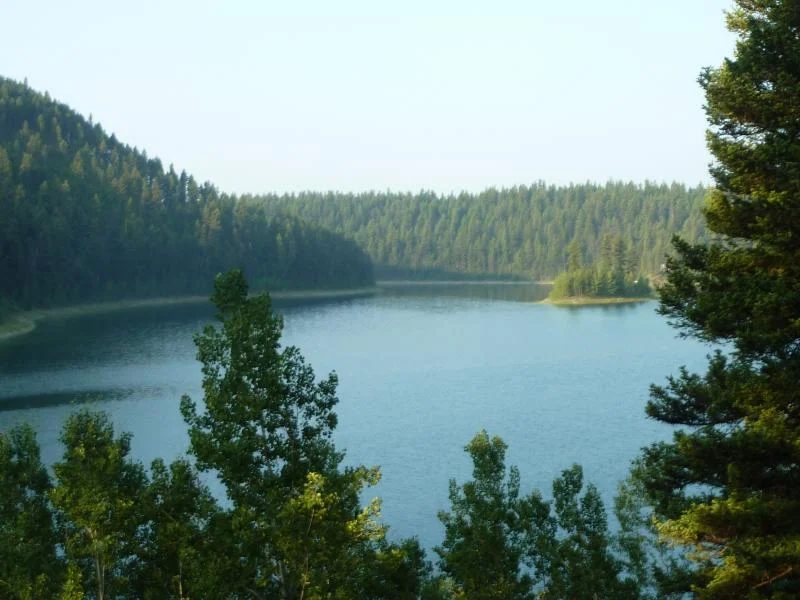
July 9 we left the Lower Mainland encountered 33-36 C temperatures on the way up Hwy 97 and spent the first night at a premium site overlooking Blue Lake just north of Williams Lake.
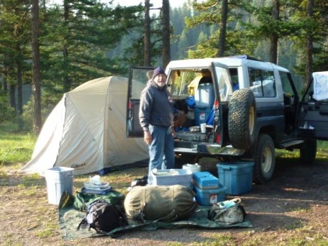
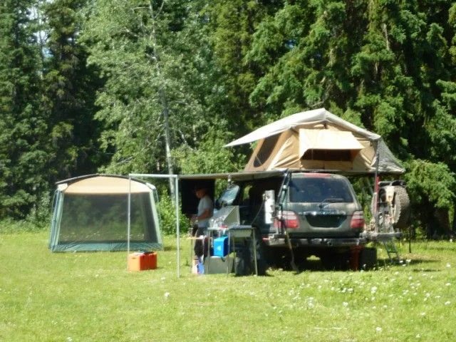
During the first week we had 6 rigs including Axel (UZJ100 the ‘newcomer’) and the die-hards, Bill, Gary, Mike, Ronald and Glenn with old school '70 series'. The first night we were without Axel as we met him the next day in Quesnel.
After fueling up at Quesnel we headed west to Nazko and north to the Mackenzie trail via Titetown Crossing and headed to Kluskoil Lake, which is in a remote provincial park, usually only accessed by quads
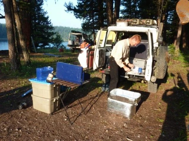
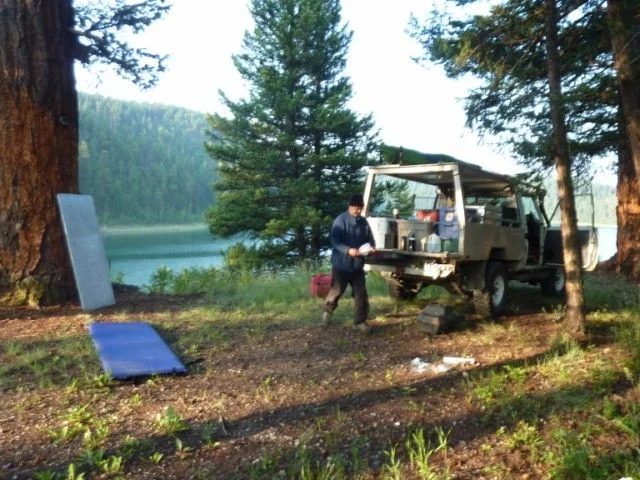
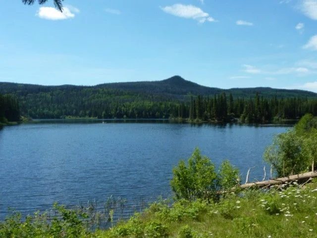
We spent 3 nights at Kluskoil lake - lazing in the sun, drinking cold beverages, watching Bill's grandson shoot off rockets going 1,000' in the air, swimming, fishing, eating too much, fix Bill's slashed sidewall with Ronald's tire irons and patch kits, fix Bill's ailing toe. Unlike last time we had the entire site - no quads just the local critters watching our every move.
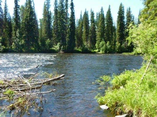
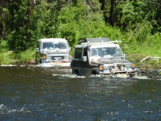
After Kluskoi Lake we decided to complete the loop and we followed the lake's northern edge west to Pan Meadow Ford. After walking the river to check for depth and holes and getting tow straps at the ready -- after some trepidation we got everyone across - safe and sound.
Although not deep the rocks were very slippery and many of the trucks bounced along looking for forward traction getting sideways in some cases.The FSM says to grease everthing after water immersion. Yesterday I checked my diffs - no sign of water.
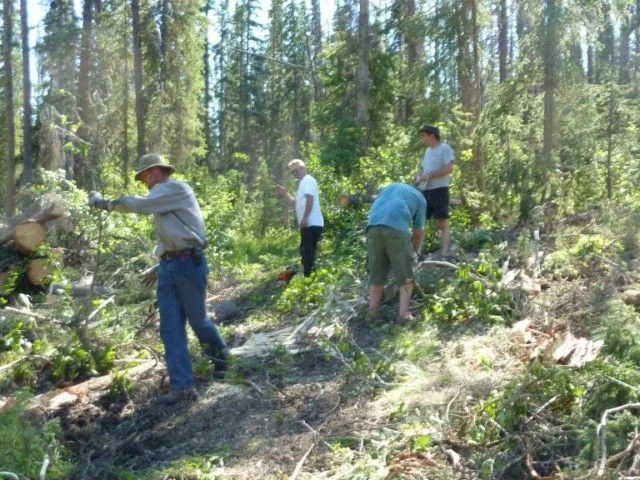
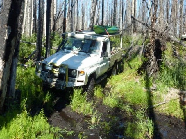
After lunch in the Pan Meadow on the other side of the river we continued along the Mackenzie Trail bypass and through the burn. Along the way we encounter a huge logging swath of downed trees and busted branches across the trail. Initially this looked very bad as it looked like it followed the trail. Following closer inspection it only covered a short section so we all pitched in and had it cleared in about 1/2 hour. Straight up the hill.
Latter on we got to the bog in the burn area, which took ages to clear in 2010, but we got through easily this time.
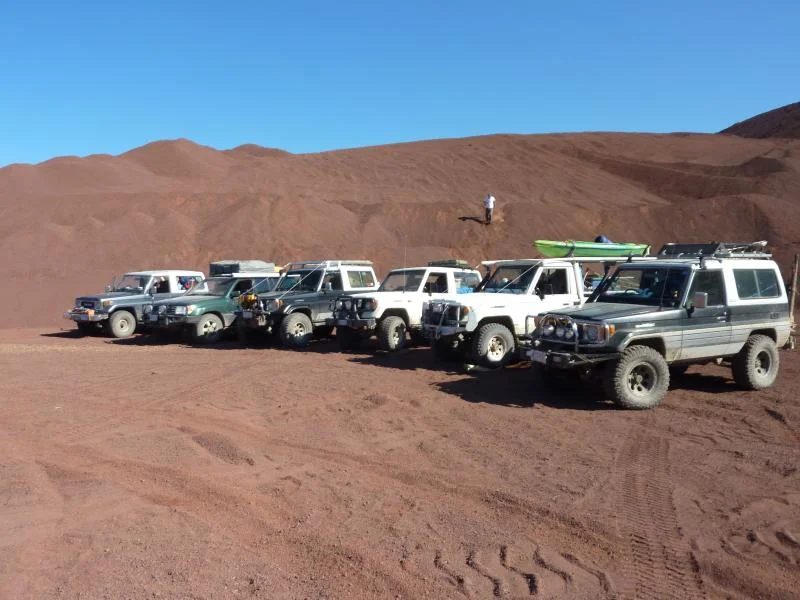
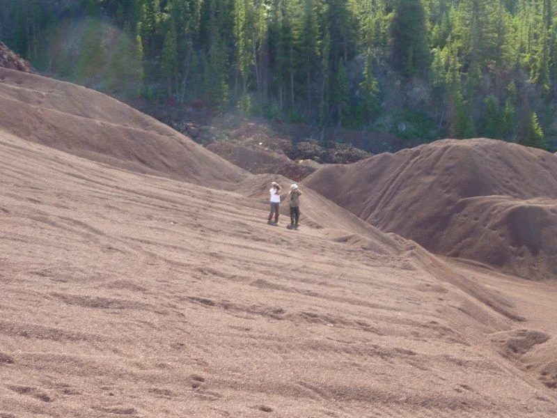
Once out of the bush we hit the 4000 Rd, which is a high speed gravel road back to Nazko (goes to Kluskus Village). It was getting late in the day so we stopped at Fishpot Lake had a swim, dinner and a sound sleep. Next morning we checked out the Nazko Cone, which is a mountain of brown volcanic pumice. This reminded me of the huge lava flows and pumice deposits in central Washington State.
After Nazko Cone we decided to take one of Matt's famous 'shortcuts' to get to Hwy 20 using gravel backroads rather than double back to pavement and heading south along Hwy 97 to get to Taseko.
Following the Backroads Mapbook we turned south onto 4000 Rd (Baezaeko Rd), just west of Nazko drove and down McFarland FSR hoping to find Clusko FSR and Alexis Lakes Road, which was suppose to get us to Hwy 20 just west of Alexis Creek.
As we found out -the Backroads Map (page 32) is wrong - the 4000 Rd (Michelle road at the south) ends into a maze of dead ends at about 52° 42' north latitude, just south of Davis Creek. This was a disappointment because we were hoping to find a viable connection to Hwy 20 to be able combine trips into the Blackwater system (Mackenzie) and Chilcotin (Hwy 20). Although we were unable to find a road connection, we heard a report from the semi-comatose customers and staff in the Nazko restaurant some dirt bikes might have made it through.
During the search for the road connection, Bill's exhaust pipe broke at the flex pipe and he was breathing diesel exhaust, which added to his good mood that morning. Well we had to stop for a trail repair. Since Bill’s tools were buried under a 1.5 tonnes of camping gear the group ransacked their spare parts stashs to see what they could come up with.
Led by Mike the 'bush repairer' extraordinaire, tent peg splints, muffler tape, beer cans and Campbell’s Soup tin were surgically fashioned into a muffler pipe wrap that lasted the trip. I think Gary had to make a tremendous sacrifice that morning and consume a post breakfast beer to provide some of the raw material for the second layer of pipe wrap.
Axel's axels
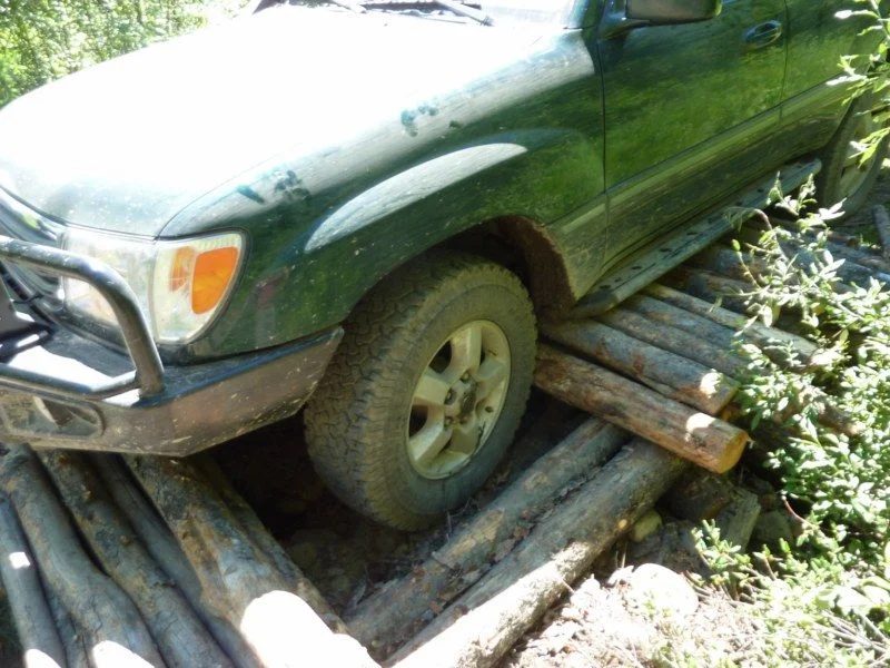
After our criss-crossing a ‘mickey mouse’ quad bridge several times, Axel’s 100 got into a ‘log rolling” skit for our mid-day entertainment.
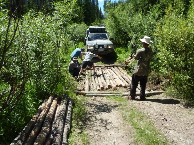
After going forward and backward several times and accumulating an impressive pile of logs between his axels, Bill yarded Axel’s rig off the log pile.
We then set to rebuilding the bridge to get the rest of the crew over this man made obstacle.
Beece Creek Flood
Taking the paved Nazko highway back to Quesnel we stopped at the food market near the Wal-Mart and said goodbye to Axel, Ronald and Mike who had other obligations for the following week. After getting fresh supplies and diesel we sped down Hwy 97 to the Boston Pizza in Williams Lake for a night off from camp cooking. Following dinner we headed west on Hwy 20 and camped at our old rendezvous the McIntyre Rec site. That night we were in for a huge thunderstorm, lighting, thunder and heavy rain and so I called in an early night.
In the morning it had stopped raining so we headed west and stopped at Lee’s Corner to check emails and grab a coffee and an overpriced but delcious cinnamon swirl. From past experience we knew not to fuel up here, so we drove another 10 km west to the Anahim IR gas station and bought diesel at $0.30 per litre less than at Lee’s Corner.
From there we headed back to Lee’s Corner to take the long 900 rd. to Nemaiah Valley for the Taseko Lake turn-off. We skipped Fish Lake and past the Taseko Lake Ranch rang their big bell (no one around), aired down put her into 4wd and headed down the east side of the lake. We were making good time and the only obstacle between us and the beach camp at Upper Taseko was Beece Creek which was usually a small river crossing without too much excitement.
The heavy thunderstorms from the day before coupled with the glacial melt waters pouring into the streams, which is normal for June and July, had turned Beece Creek into a ragging torrent. We arrived to water running down the road, so we pulled over to figure out what to do. We decided to camp up on a higher of the two campgrounds and wait for morning.
Final Chapter
The next morning we checked the water level on the over-flowing Beece creek and it was the same or a little higher so we decided pull stakes and head over to the other side of the lake. This required backtracking to 900 Rd and then taking the Fishem Lake road south again past Lastman Lake, Tuzcha Lake and Fishem Lake, which are all near the eastern edge of Ts’yl-Os Provincial Park, which contains the cold and windy Chilko Lake.
Last year we met Fritz the trapper at the Elders’ Gathering (July 2011) so we decided to drop by his place this year to say hello. After some searching we found Fritz’s beautiful European styled house and trapping school on Tuzcha Lake which overlooks a mountain between the Fishem drainage and Taseko Lake. Fritz is a well-known local trapper who has lived on Tuzcha lake for at least two decades originally from Germany.
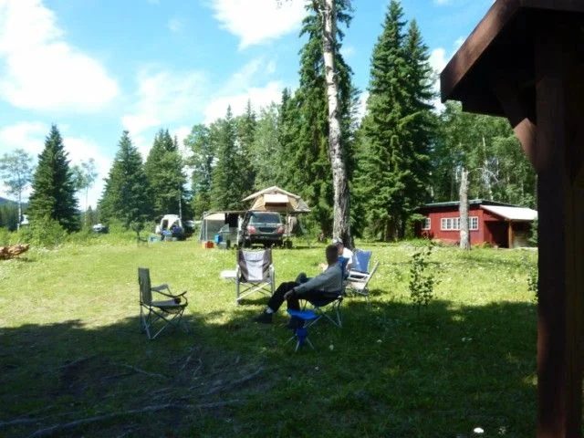
After buying a dozen eggs we said good-bye and headed to our campsite on a little connection lake – locally called Moose Lake, which is part of the Fishem Lake chain.
The thread on IH8MUD
Late March 2012
Short Moab trip
By ikeedikeed
Lindsay, the pooch and I went on a quick trip to Moab last week. We only had 8 days, so left at 3am on the 22nd and made it to Burley, Idaho for a quick snooze and on to Moab for arrival in early afternoon on 23rd.
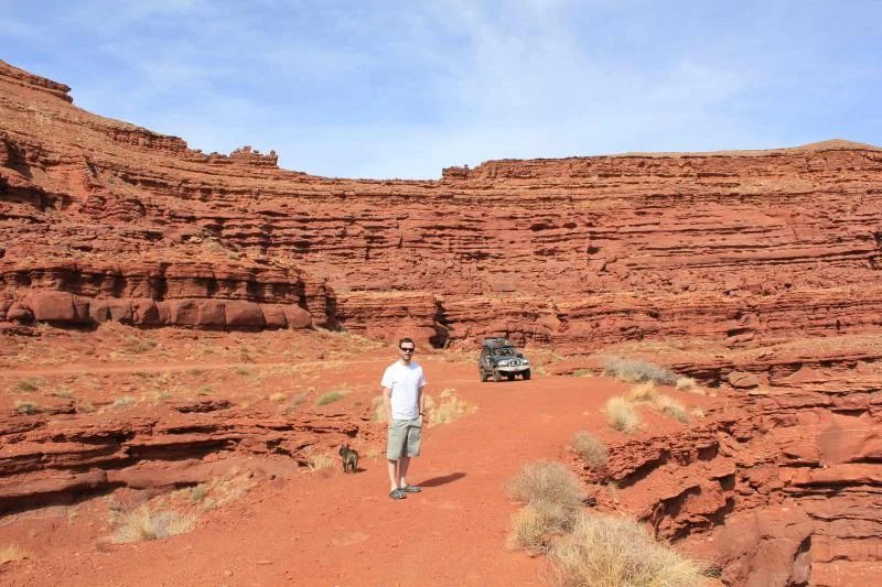
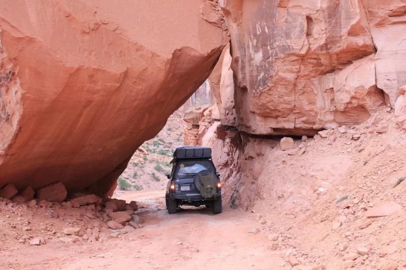
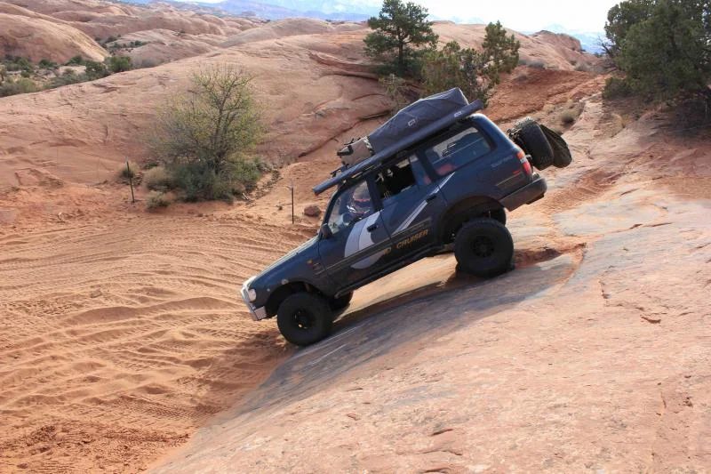
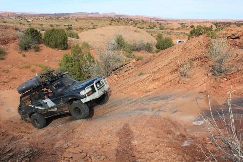
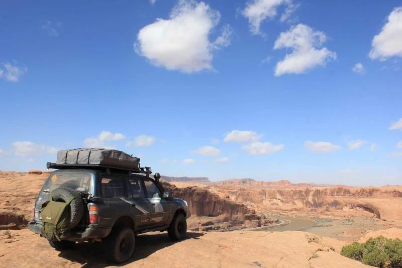
We camped at the Slickrock campground for a couple nights, heading to Chicken Corners and Long Canyon on the first full day. These are very easy trails with only a bit of a tricky part at the top of Pucker Pass road just before the big leaning rock on Long Canyon.
We did Fins n Things on day 2 and had a great time with no issues to speak of. Lindsay was pretty scared in a couple of spots and had to hop out though. She later said she couldn't believe what the cruiser could do in a heartbeat.
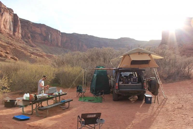
We camped at Big Bend (I think) on the Colorado River and it was windier than I'd ever seen that night. Minor carnage to the awning, which I stupidly left out that night, and some bendage of a couple of the metal tension bars for the Pilbara. Nothing that can't be fixed in an afternoon though.
I managed to convince Lindsay to allow me to try Hell's Revenge on day 3. She was pretty scared from the description in the trail guide we got from the info centre (Guide to Moab... by Charles Wells). The description sounded pretty gnar but the truck had no problems, mind you I was forbidden to try Hell's Gate and voluntarily passed by the tubs. We did it in about 2.5 hrs including photo ops while the book suggested to plan for 4 to 6 hrs.
After Fins N Things and Hell's Revenge, I left the trip in Lindsay's hands and we did some sight seeing at Arches National Park and then headed for a longer route home which I won't bore you with.
It was our first time in Moab and we will definitely be returning sometime soon.
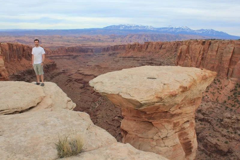
pic 1) somewhere on Chicken Corners pic 2) near top of Long Canyon (pretty sure I could hop to the pedestal but too doubtful of return hop ability) pic 3) big rock near top of Pucker Pass Road down Long Canyon
Pic 1) Somewhere on Fins N Things; Pic 2) Somewhere else on Fins N Things; Pic 3) Spot the super tired pooch.
pic 1) Big Bend Campground I think. First time with awning, bent some aluminum on the wind. Will reinforce with some steel. Questionable design if you ask me.
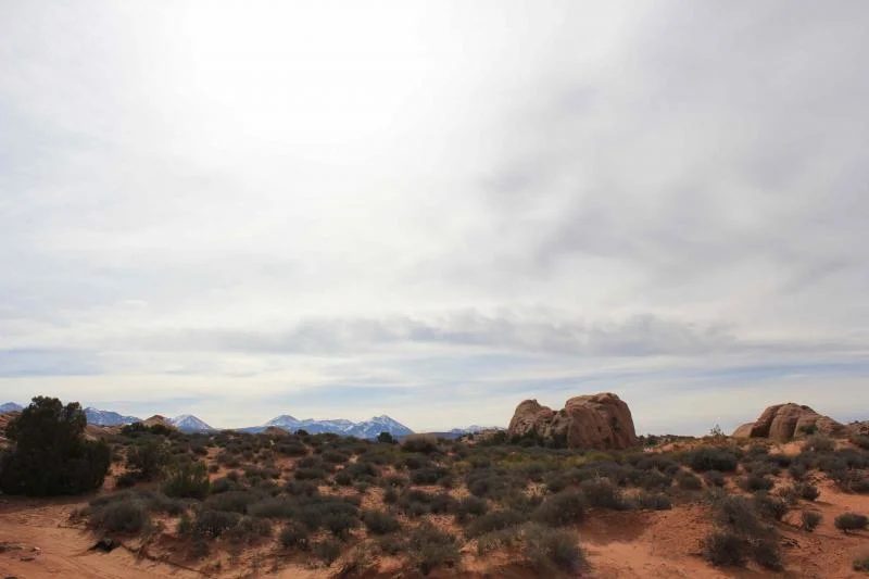
pic 2) Lookout over Colorado River from Hell's Revenge. Wind was unbearable that day.
The thread on IH8MUD